
REMOTE SENSING & VIEWING
Design and provision of remote sensing solutions allowing real time monitoring of video (visible, infrared), chemical contaminant levels, turbidity, ground water level etc.
- Derelict and abandoned mine sites.
- Renewable energy fields.
- Electrical transmission infrastructure (in the absense of OPGW).
- Unmanned Oil and Gas infrastructure.
- Unmanned plant and material depots.
- Waterway monitoring.
- Wildlife monitoring and tracking.
These can be designed to interface via an access controlled web page or as a data feed into existing client monitoring systems.
PHOTOGRAMMETRY (NOT SURVEY QUALITY)
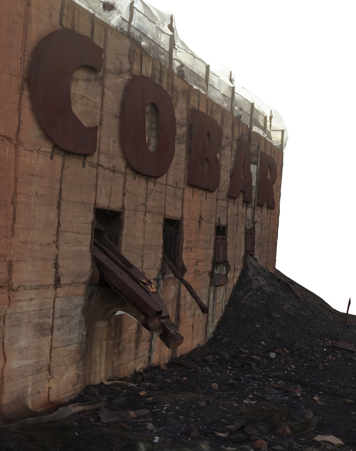
Photogrammetry utilises images taken from multiple view points to reconstruct a 3 dimensional environment. There are a number of options for the output including meshes and point clouds which can be used in AutoDesk products such as AutoCAD. If the resulting data is to be used for survey type work, for example stockpile assessment, then a a qualified surveyor is required.

DATA RECOVERY
Siemens SCADA control systems used to have the endearing bug of deleting their old daily alarm log file in the event of "excessive" incoming events. They fixed the bug many years ago but we maintain the capability to scan for files which remain on the hard drive platters but no longer appear in any active file system. This could be because of simple deletion of the file or its associated partition. We can interface to SAS, SATA and even the old PATA drives but the drive has to be functional. If the drive is no longer functional then the recovery is far more complex involving bespoke scanning of the bare platters or transplant of the platter into a working drive case. There are other specialist companies with clean rooms who will perform this work.